Posted on 20.07.2014 and 20.09.2014
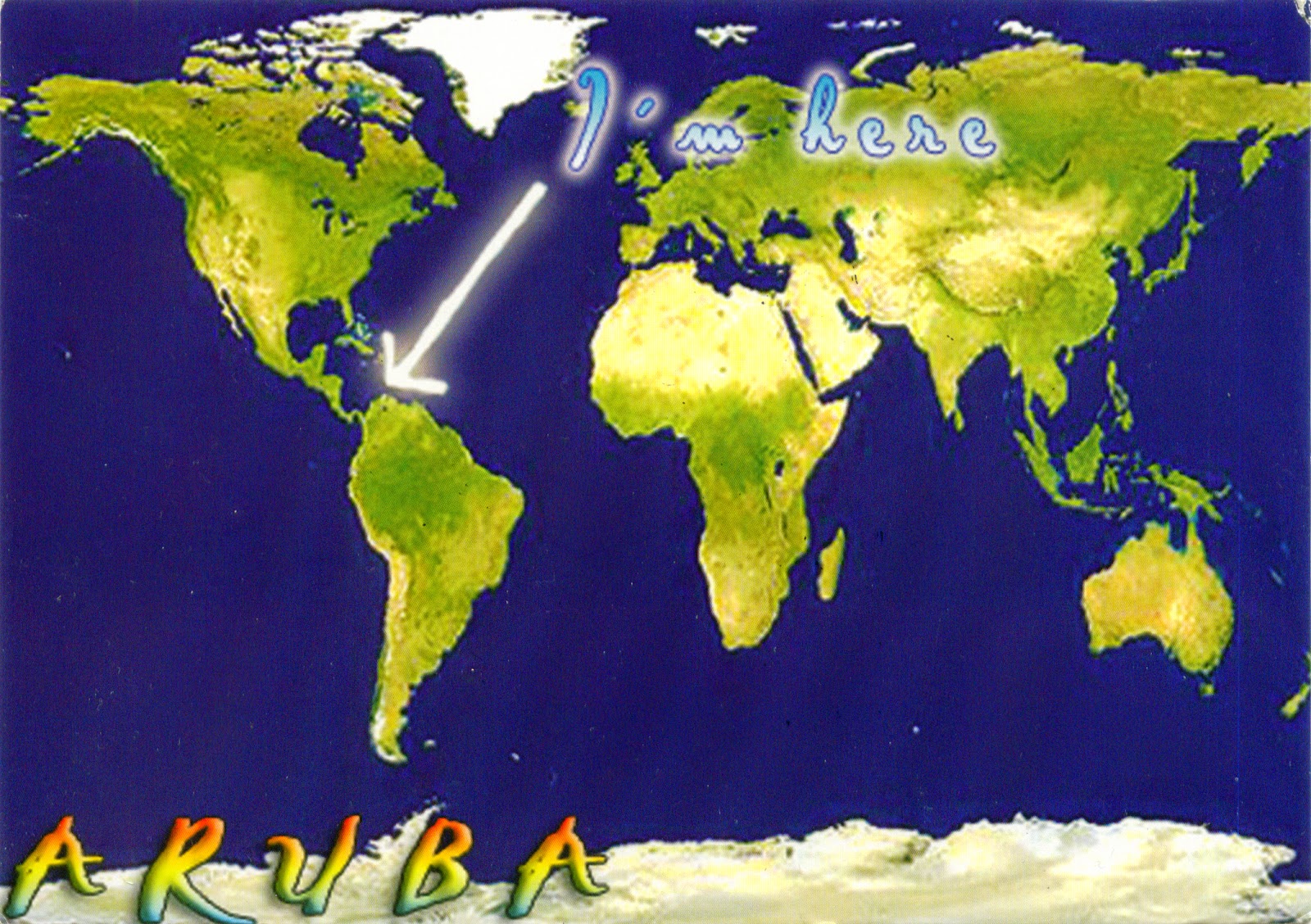
Located about 1,600km west of the Lesser Antilles in the southern Caribbean Sea and 27km north of the coast of Venezuela, Aruba forms, together with Bonaire and Curaçao, a group referred to as the ABC islands. On the other hand, Aruba and the other Dutch islands in the Caribbean are often called the Netherlands Antilles or the Dutch Caribbean. It is one of the four constituent countries that form the Kingdom of the Netherlands, along with the Netherlands (which comprises not only the European land, but also Bonaire, Sint Eustatius, and Saba), Curaçao and Sint Maarten.
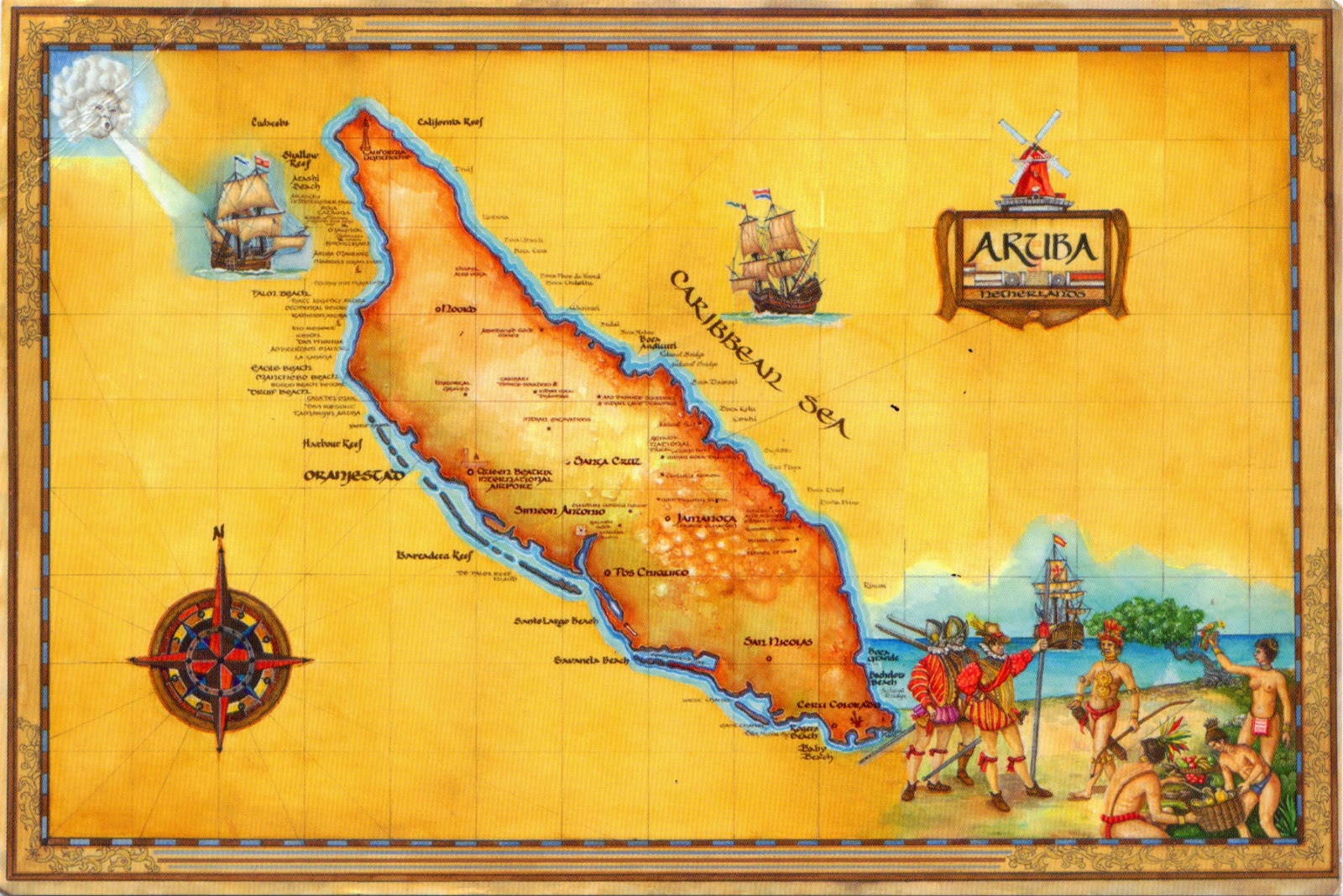
A generally flat, it lies outside the hurricane belt, and, unlike much of the Caribbean region, has a dry climate and an arid, cactus-strewn landscape. It has white sandy beaches on the western and southern coasts of the island, relatively sheltered from fierce ocean currents. The population is estimated to be 80% mixed Black/White/Caribbean Amerindian and 20% other ethnicities, and the Arawak heritage is stronger on Aruba than on most Caribbean islands. The official languages are Dutch and - since 2003 - Papiamento, a language derived from African and Portuguese languages with some influences from American Indian languages, English, Dutch and Spanish.
Aruba's first inhabitants were Caquetíos Amerinds from the Arawak tribe, who migrated there from Venezuela, and Europeans first learned of it following the explorations by Amerigo Vespucci and Alonso de Ojeda. Because it had low rainfall, it was not considered profitable for the plantation system and the economics of the slave trade. Since 1636, it has been under Dutch administration, which left the Arawaks to farm and graze livestock, and used the island as a source of meat for other Dutch possessions in the Caribbean.
Aruba has one of the highest standards of living in the Caribbean region, its economy being dominated by tourism, gold mining, phosphate mining, aloe export, and petroleum refining. About three quarters of its gross national product is earned through tourism or related activities. The capital and largest city of Aruba is Oranjestad (Orange Town), located on the southern coast near the western end of the island. The town was built around Fort Zoutman shortly after it was built in 1796, and was named in 1820 after the first King Willem van Oranje-Nassau (William of Orange-Nassau) - the first heir to the Dutch House of Orange.
Read more »


