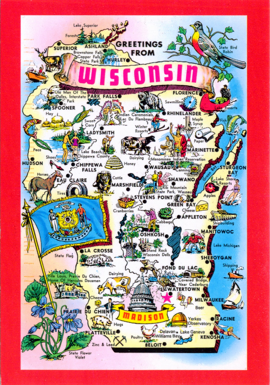
Bordered by the Montreal River, Lake Superior and Michigan to the north, by Lake Michigan to the east, by Illinois to the south, by Iowa to the southwest, and by Minnesota to the northwest, Wisconsin is known as "America's Dairyland" because it is one of the nation's leading dairy producers, particularly famous for cheese. The word Wisconsin originates from the name given to the Wisconsin River by one of the Algonquian-speaking American Indian groups living in the region at the time of European contact. With its location between the Great Lakes and the Mississippi River, Wisconsin is home to a wide variety of geographical features. The state is divided into five distinct regions: the Lake Superior Lowland in the north, the Northern Highland (with massive mixed hardwood and coniferous forests, as well as thousands of glacial lakes, and the state's highest point, Timms Hill), the Central Plain, the Eastern Ridges and Lowlands, and Western Upland (a rugged, hilly region deeply dissected by rivers and streams). The state capital is Madison, and its largest city is Milwaukee, which is located on the western shore of Lake Michigan.
Read more »

