| Image may be NSFW. Clik here to view.  |
| 1264 ALDERNEY - Moorings alongside the breakwater at Braye Harbour |
Posted on 02.10.2014, 07.04.2015
Alderney, part of the Bailiwick of Guernsey, is the most northerly of the Channel Islands, located at around 16km to the west of La Hague (Normandy, France), and 32km to the north-east of Guernsey. It is 4.8km long and 2.4km wide, and has about 1,900 inhabitants, formally known as Ridunians (from the Latin Riduna), but traditionally nicknamed vaques (after the cows), or else lapins (because of the many rabbits seen in the island). It shares a history with the other Channel Islands, becoming an island in the Neolithic period as the waters of the Channel rose. Its many dolmens have suffered through the large-scale military constructions of the 19th century and also by the Germans during the WWII occupation. Moreover, Germans fortified the island abandoned by inhabitants, as part of Hitler's Atlantic Wall, and built four concentration camps.
| Image may be NSFW. Clik here to view.  |
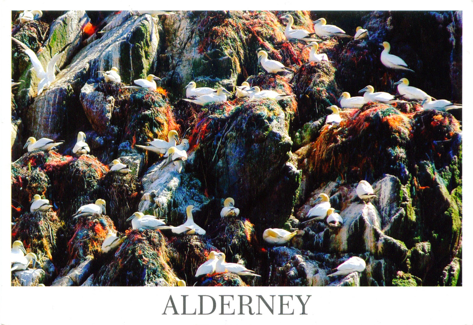
| 1515 ALDERNEY - Springtime on Gannet Rock |
Braye Harbour is the main harbour on the north side of the island. It is an artificial harbour created by building a pier or jetty. The harbour faces out onto the Swinge, which is part of the English Channel. The breakwater at the Braye Harbour was built between 1847 and 1864. Originally, two arms were planned as a protection to the harbour, but only the western arm was completed, with a length of 1,471 m. Within a year 540 m was abandoned to the sea following heavy gales. The massive stone breakwater is generally used as a walk way to enjoy the scenic beauty of the bay, its harbour and the sea. Braye Harbour has a slipway but it doesn't have a marina and there are no alongside pontoon systems to berth to.
Read more »


